T h e C u c k o o L i n e
Part 2
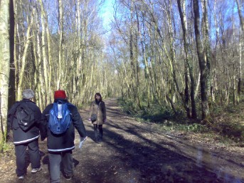
On Sunday 7th March, we came back to the Cuckoo Line in order to cover some more of this mysterious stretch of long lost railway track between Polegate and Eridge.
This time, we attempted to cover the stretch between Heathfield Station and Knowle Viaduct, just outside Mayfield Station.
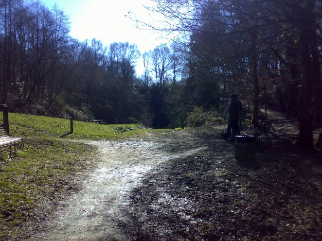
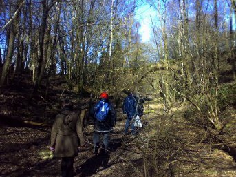
As usual, we all met up at our usual meeting point and were on site for just before 11am.
Mission Operatives:
Kaptain Klutz, Holmbush, Ghost, Bugler and introducing new agent "TheMissus"
~~~~~~~~
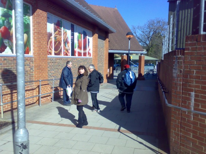
ABOVE: Our start point for this stretch of the line: Heathfield Coop. Just across the carpark in the distance is the "Millenium Arch", which leads down to the trackbed just beyond the Northern end of Heathfield Tunnel.
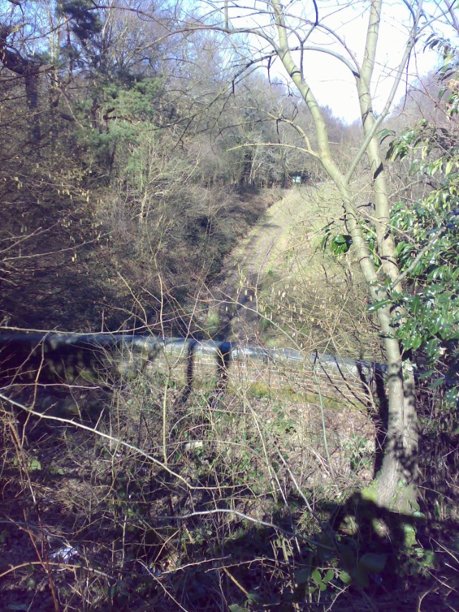
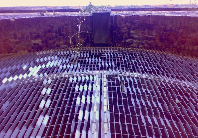
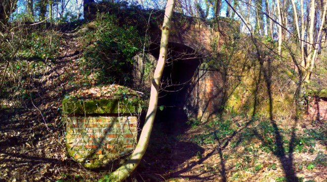
ABOVE: The trackbed, viewed from just above the parapet of the Heathfield Tunnel. The tunnel will be investigated in a lot more depth in a future trek, as it is open to the public during the summer season.
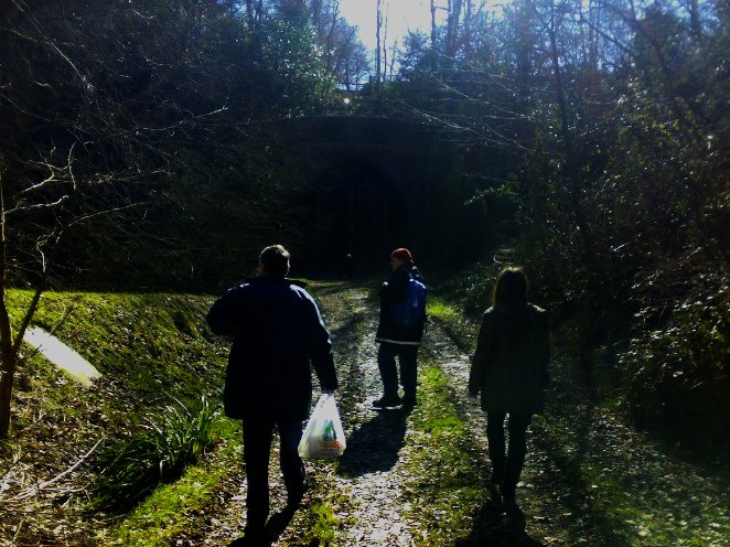
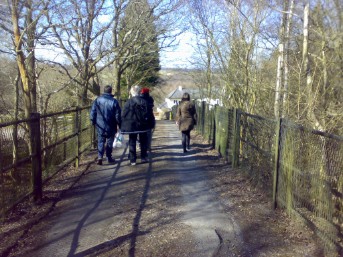
ABOVE: This is the start of the trackbed from the Northern enterance of the Heathfield Tunnel. The slope at this point is artificial and the original track level would have been a lot lower than this, otherwise the poor engines would have a considerable problem getting up here! Where the 3 Agents are standing, the track would have been approximately 5 foot lower.
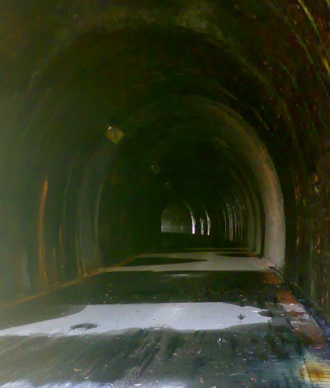
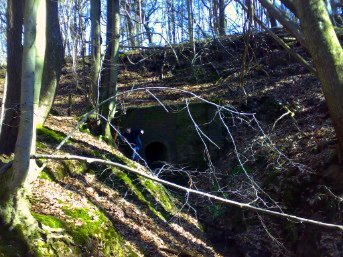
ABOVE: This rather hazy shot of the Heathfield Tunnel was taken through the bars of the enterance gate and gives a tantalising glimpse of things to come. The tunnel is closed off to the public off season in order to prevent "goings-on", so to speak...
ABOVE: An arty shot of the gate and the keystone at the top of the tunnel mouth. The gate is totally impenetrable, sadly, and none of us were slender enough to get through the gap underneath it!
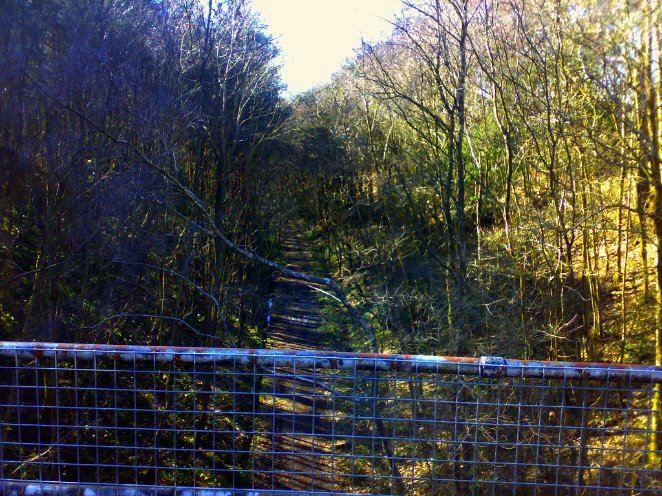
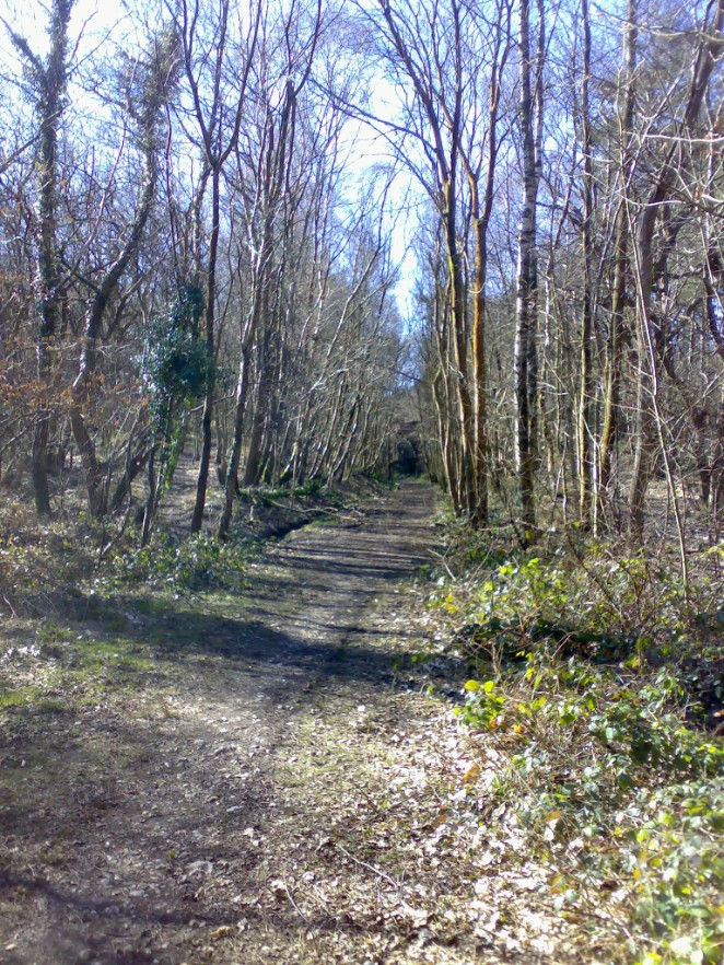
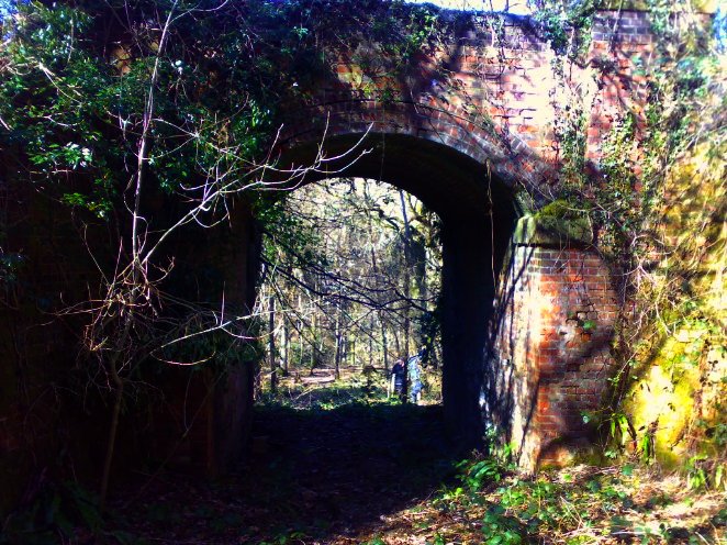
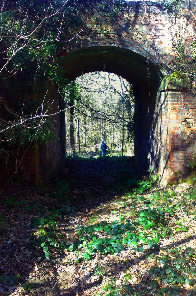
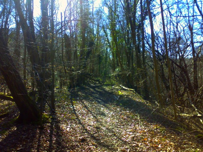
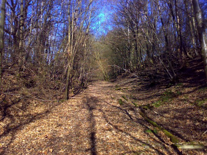
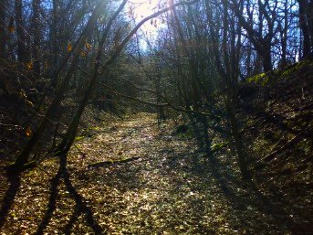
ABOVE: Looking back along the trackbed, due roughly south towards the tunnel mouth - which is between the trees, right in the centre of the picture.
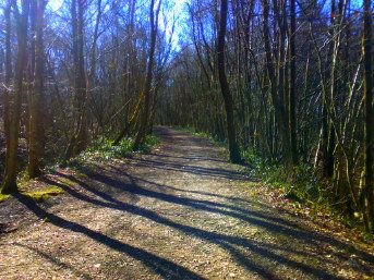
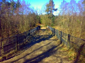
ABOVE LEFT & RIGHT: The trackbed looking northbound (left) and southbound (right)
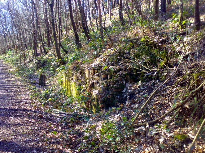
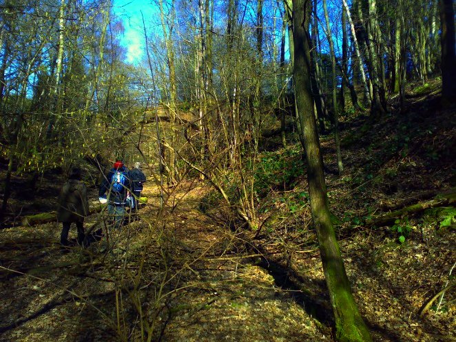
ABOVE: We are not too sure about this structure: at first we thought that it was the base of a grit bin platform, but on closer inspection, the brickwork has been very neatly faced up with aspects to north, south and east. It looks very substantially built as well, so more likely to be the remains of a small occupational bridge over the track. However, there is no corresponding pier on the opposite side of the cutting, so we are at a bit of a loss here.
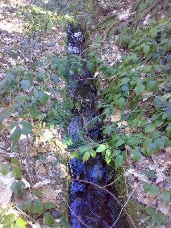
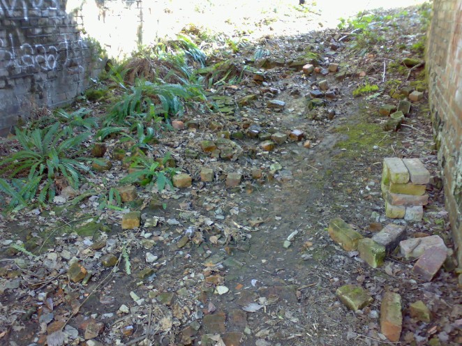
LEFT: At odd intervals along the trackbed, this little drainage channel would appear out of the scrub. It has obviously been cleaned out periodically, but even so, is in excellent condition considering.
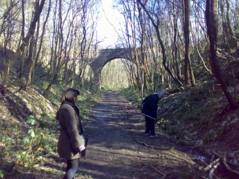
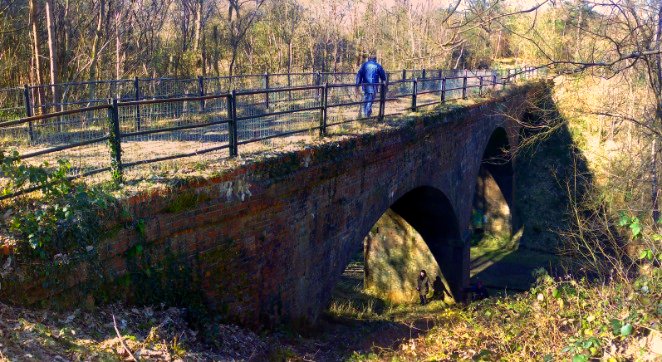
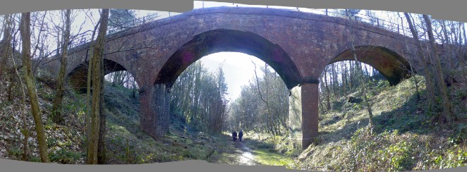
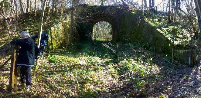
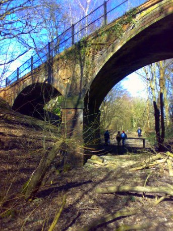
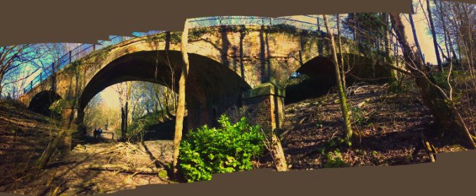
ABOVE: Everyone seems not to have noticed the bridge yet, being more interested in the drainage! This fantastic 3 arch bridge crosses the trackbed shortly after it enters Markley Wood.
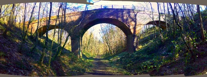
ABOVE: Panoramic view of the whole bridge. It is in excellent condition, with very little deterioration of brickwork at all. It also appears not to have been re-patched, which is incredible considering how long it has been here. NB: The curve of the bridge is artificial and caused by the 'indexing' of the camera from left to right.
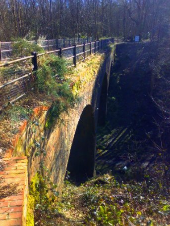
BELOW: Agent Bugler investigates the western side of the bridge.
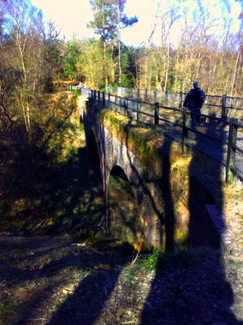
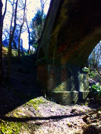
ABOVE: The southern aspect of the bridge, looking roughly north-west.
TOP RIGHT: Looking due westacross the bridge.
BOTTOM RIGHT: The northern aspect of the bridge, looking roughly south-west.
BELOW: Looking over the parapet back at the trackbed, looking due south towards Heathfield.
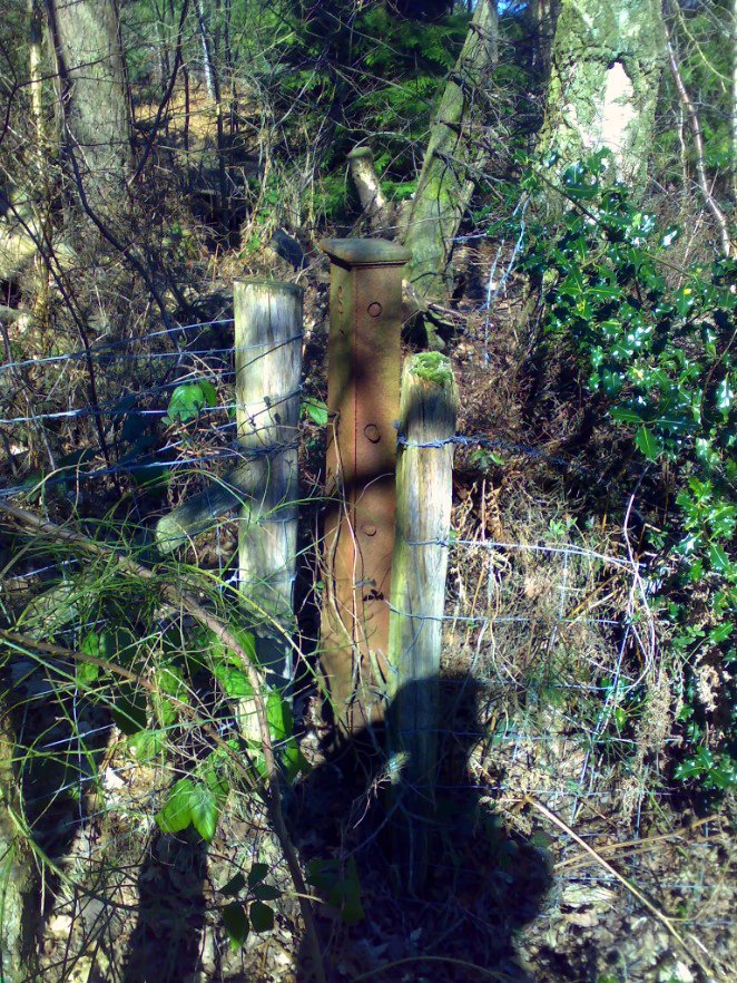
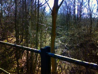
BELOW: These remarkably intricate and highly decorative gateposts became a regular feature on our trek, appearing at odd intervals whenever a road or culvert crossed the trackbed. They have a pair of toothed wheels in them (where the 2 bolts protrude from it facing the camera) and these are designed to be adjusted in order to tension the wite of the fence. A very clever idea and a typical example of Victorian over-engineering.
****************************************************************************
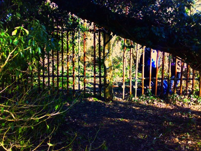
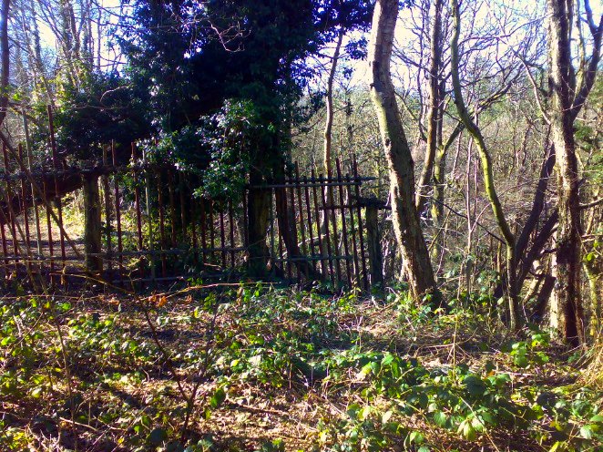
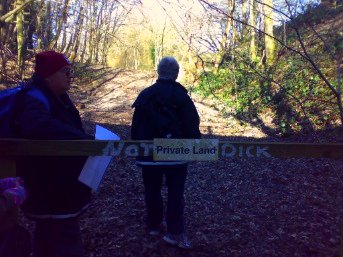
ABOVE & BELOW: "GIT ORF MOI LAAAAAANNNNDD!!!"
Someone really didn't want people to get in here, but thanks to some fairly advanced sneaking, barbed wire dodging and limbo dancing (10/10 to Agent Holmbush on this count!) we got through it! The view BELOW shows us inside looking out. Sorry, but if this is YOUR private land, you really must do better.
****************************************************************************
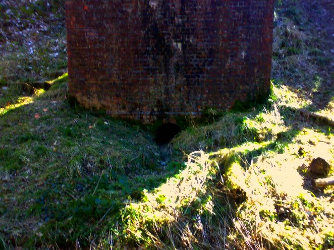
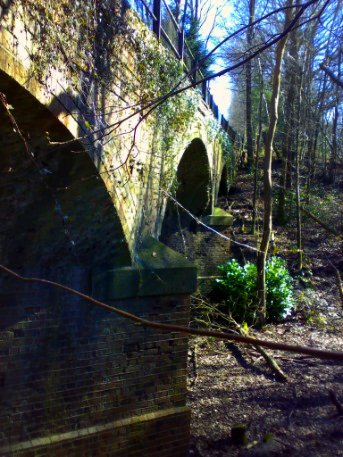
BELOW: Our efforts to get through the horrible fortifications paid dividends - as can be seen in this photo, another lovely skew bridge can be seen peeping through the trees.
BELOW: This is the southern aspect of the bridge looking due north. I can tell because every time I stopped to take photos, the rest of the crew buggered off and I usually had to run for a bit to catch up...
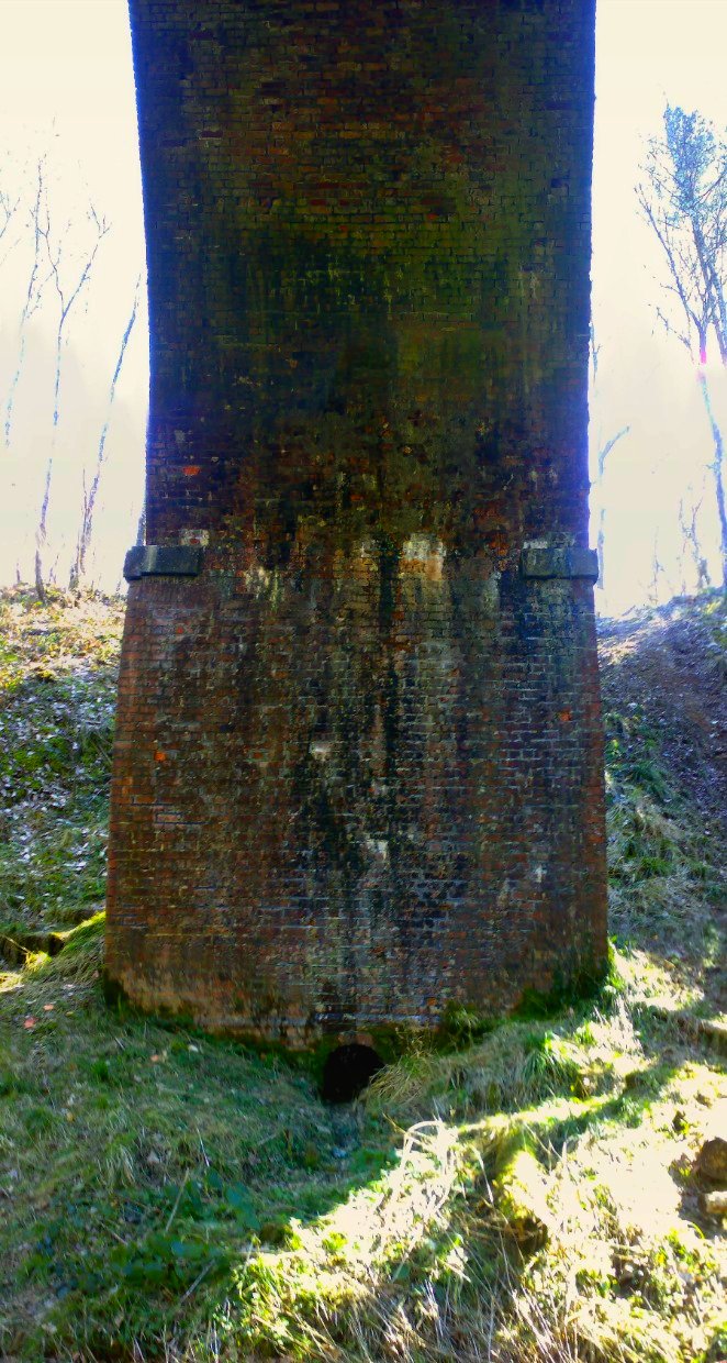
BELOW: Again, the brickwork is in excellent condition as can be seen from these photos of the support piers. Note the integral drainage duct built into the pier - this is quite an uncommon feature in bridges, but a very clever one.
BELOW: An arty shot of one of the support piers from horizontal through to vertical. I love the range of colours caused by weathering, water ingress and soot over the course of just over a century (Nick? LOR).
***************************************************************************
ABOVE & BELOW: Next up, we found this lovely little cattle creep roughly halfway between the barricade and Calytons Farm.
BELOW: The cattlecreep appears to be still in use and was quite clear of undergrowth and scrub. There were also some more of our highly mechanised fence-posts in the surrounding area.
BELOW: One thing that tickled us was that there were far more bricks around the cattle creep than the construction required. We wondered if the area under the span was paved with bricks at this point? We are guessing that the earth level has accumulated over the period from when it was most active and that the brick area may be buried here, unearthed by the passsage of huge whirly farmyard machine thingies and given rise to the little stacks of "pesky bricks".
****************************************************************************
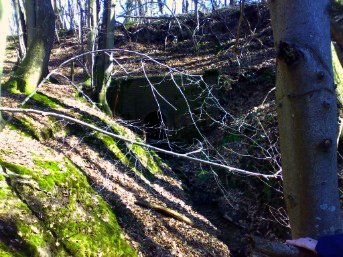
BELOW: Beyond the cattle creep, the track bed crosses a respectable valley and the embankment for the trackbed is quite impressive at this point.
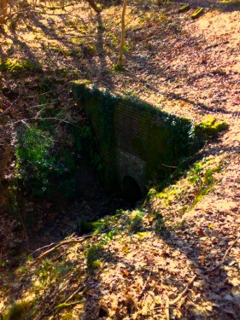
ABOVE & TOP RIGHT: The valley floor has a small stream running through it, which crosses the trackbed via the small water culvert seen here.
RIGHT: Agent Bugler was sure that it was possible to go through the culvert. Sadly, he was chased out the other side by a troll and 3 Billygoats.
****************************************************************************
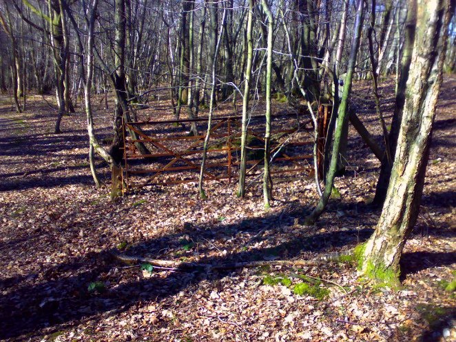
ABOVE & BELOW: Evidence of an occupational farm crossing. The gates are still very much intact, but what happened to the rest of the surrounding fencing in the top photo?
BELOW: The trackbed approaching Colytons Farm, looking due north.
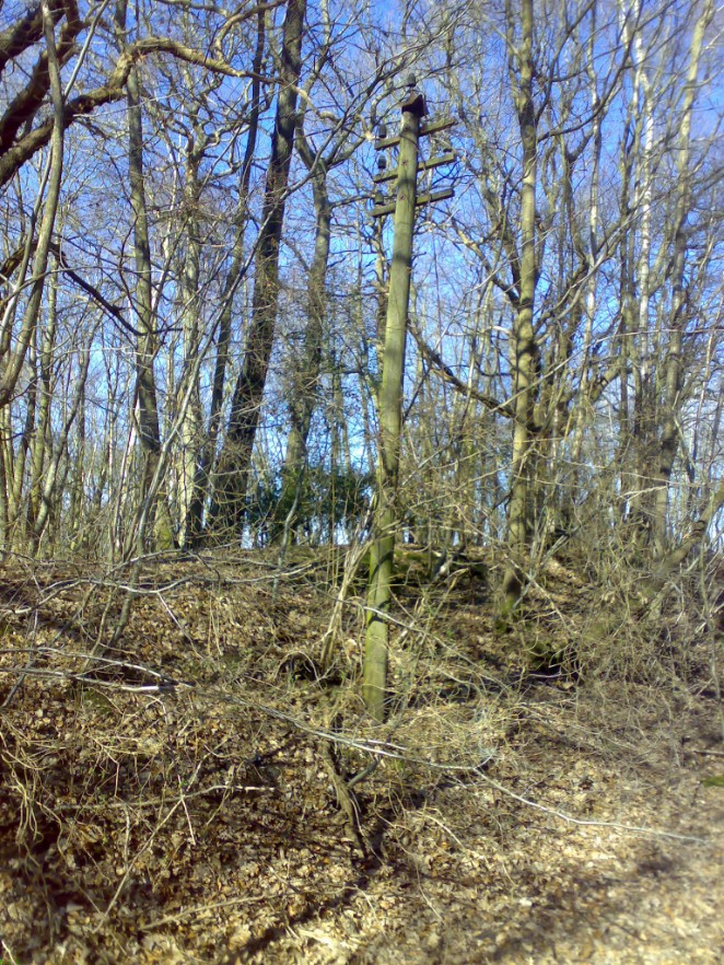
BELOW: There are a couple of original telegraph poles sticking out of the scrub on this section of the trackbed. They are actually quite difficult to spot, as they have weathered heavily with age and are quite hard to distinguish from trees at first glance.
BELOW: Trackbed approaching Colytons Farm, looking back south towards Heathfield.
ABOVE & BELOW: This bridge carries a public footpath and access road to Colyton Farm over the trackbed. The area beyond is very private property, so we had to divert off the trackbed via the footpath at this point, otherwise we'd have had to cross someone's front garden and that's pushing it a bit far...
BELOW LEFT: Southern aspect of the bridge looking due north-west towards Colytons Farm.
BELOW: Northern aspect of the bridge looking roughly east.
BELOW: This is a pre-finalised stitch of the whole of the bridge, looking north towards Calytons Farm. Again, the curve is created artificially by the camera 'indexing' from left to right. There are actually 8 separate photos in this one.
BELOW RIGHT: Southern aspect looking due north-east towards Colytons Farm
ABOVE: This is where the trackbed turned into a front garden. What do we do now? Beyond this point, there were a lot of little white flags pushed into the ground and my first thought was "shooting markers", as there were a few shotgun bangs as we were walking along. We found out later that they were some kind of weird mapping system for dogs (WTF?) However, we did the decent thing and diverted onto the footpath to try and get around the private bit (BELOW).
ABOVE LEFT: Looking north from the parapet of the footbridge, it is as good as impossible to determine the path of the trackbed. We discovered from the map that the footpath took us quite a long way off the beaten track for quite a while before we would be able to rejoin the trackbed anywhere soon.
ABOVE RIGHT: The trackbed looking back towards Heathfield from the parapet of the bridge.
We had a quick look up the footpath to see where it would rejoin the trackbed and found a good vantage point from where we could see the trackbed from the top of a cutting. It was, however, still quite private land at this point and there were a couple of Herberts blatting up and down on quad bikes, so we thought it best not to antagonise them by going for a walk in their garden. Besides, breakfast was by now quite a distant memory and the words Pub, Quaffing and Refreshment started to appear in converstaion. As is customary, we end up our day at a local hostelry for a jar or 2 before the journey home. So, at this point, we decided to retrace our steps and find our pub of choice in this area..... The New Inn at Hadlow Down.
****************************************************************************
 Go back to Stage one of The Cuckoo Line Treks
 Find out about The New Inn at Hadlow Down
 Go back to "Places"
 GO TO THE FORUM